More Than 350 Earthquakes Hit California’s Most Dangerous Fault Zone — What Scientists Are Watching
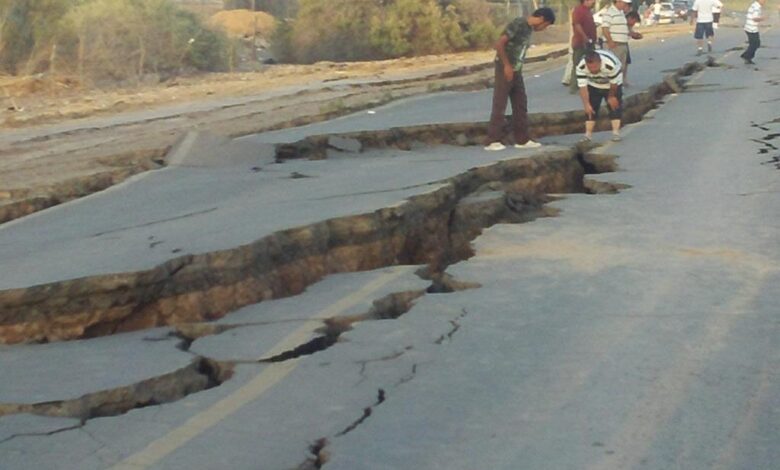
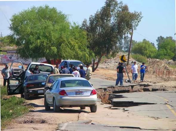
More than three hundred and fifty earthquakes struck the Brawley area of Imperial County, California between Saturday morning and Sunday afternoon, May 9–10, 2026. The largest event reached magnitude four point seven late Saturday night. About one hundred and eighty thousand people across Southern California experienced light to strong shaking, according to USGS ShakeAlert data. The Southern California Seismic Network logged three hundred and sixty eight events within a twenty kilometer radius. By Sunday afternoon the activity was slowing. No injuries have been reported, though city crews spent Sunday addressing scattered water and gas leaks, and some downtown businesses reported minor damage.
What Is the Brawley Seismic Zone?
The Brawley Seismic Zone is a fault junction in Imperial County, Southern California, connecting the southern terminus of the San Andreas Fault with the Imperial Fault. It is a spreading center — the northernmost extension of the East Pacific Rise, the mid-ocean ridge running up the Gulf of California that has been pulling the Baja California Peninsula away from mainland Mexico for millions of years. The Salton Trough, the desert depression holding both the Salton Sea and the Imperial Valley, is the surface expression of that process.
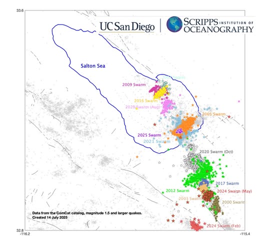
The crust here is thinner than in most of California. Heat flow from below is exceptional, supporting one of the largest geothermal energy complexes in the United States. Thinned crust, high heat, and fluids circulating through fractured rock produce a particular kind of seismic behavior: swarms. Rather than building toward a single large rupture, the zone releases stress in clusters of dozens to hundreds of earthquakes with no clear dominant mainshock. Documented swarms include 1981 (peak M5.8), 2005 (peak M5.1), and 2012 (peak M5.5).
What Happened: May 9–10, 2026
The first microearthquakes were recorded in the early morning hours of Saturday, May 9. The swarm intensified at 4:14 p.m. with a magnitude three point five at roughly fourteen kilometers (eight and a half miles) depth. A magnitude four point four followed at 8:03 p.m., a magnitude four point five at 8:39 p.m. at about fourteen and a half kilometers (nine miles) depth, and the largest event — magnitude four point seven — struck late Saturday night at approximately sixteen kilometers (ten miles) depth.
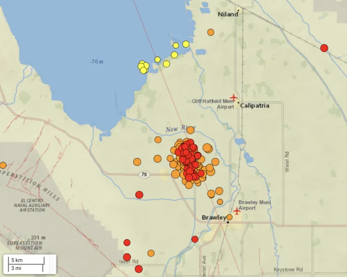
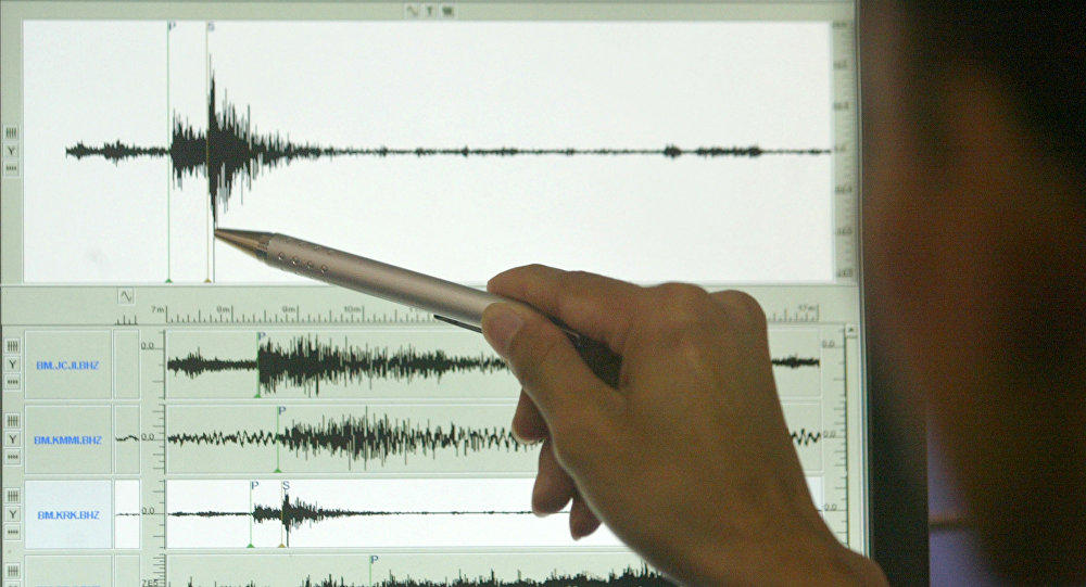
The seismicity concentrated on a northeast-to-southwest striking fault, roughly perpendicular to the main Imperial Valley faults — typical of the cross-fault structures in this part of the Brawley zone — at depths between five and sixteen kilometers (three to ten miles). No migration along the fault trace was detected, meaning the activity released stress locally rather than transferring it to adjacent segments. By Sunday afternoon the swarm was slowing.
Why This Zone Gets Serious Attention
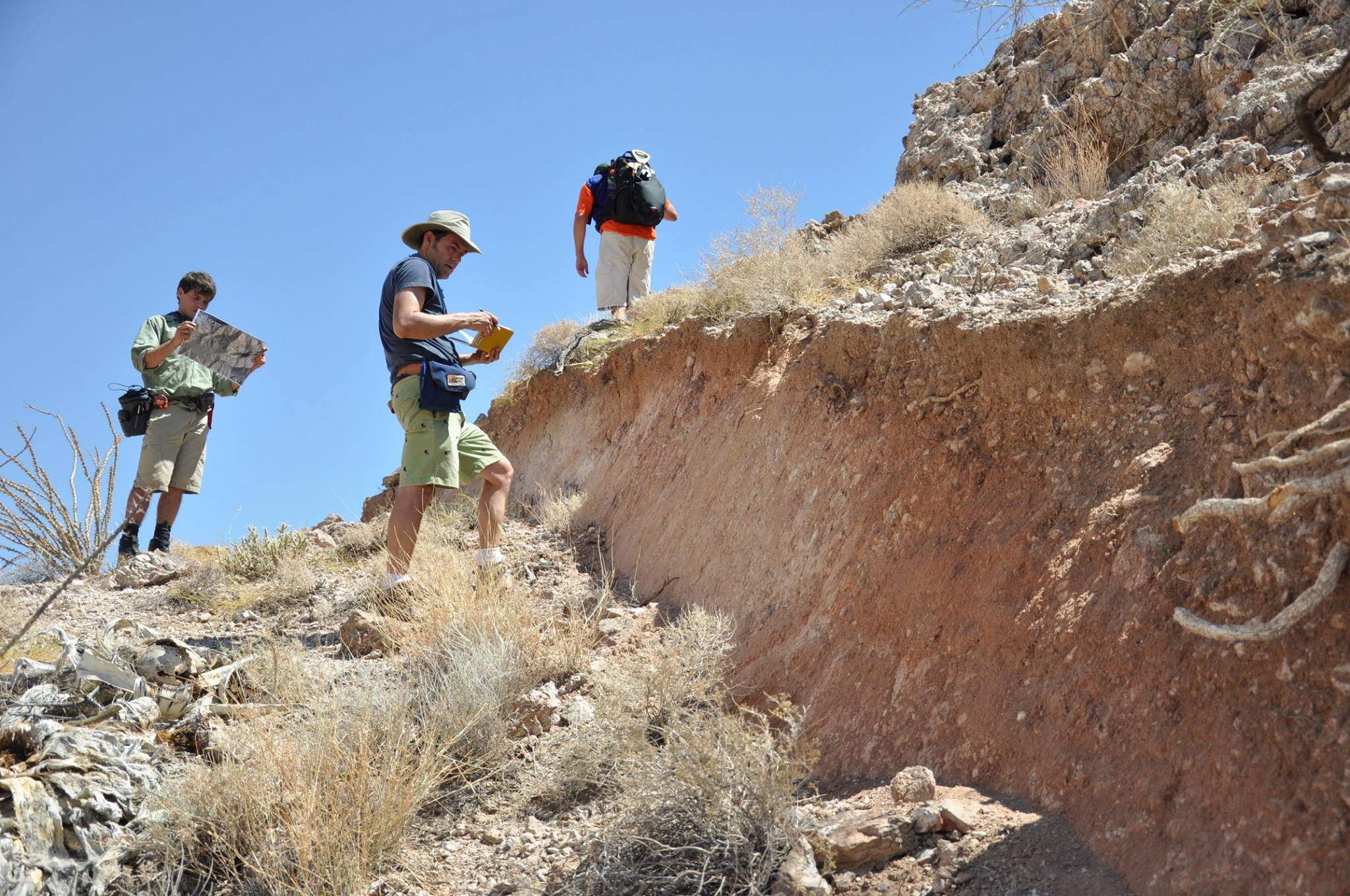
The San Andreas runs more than one thousand two hundred kilometers (seven hundred and forty five miles) through California, moving at roughly twenty to thirty five millimeters (zero point eight to one point four inches) per year. The southern segment — from the Salton Sea northward through the Coachella Valley toward Los Angeles — has not produced a major rupture since approximately 1700. Paleoseismic data from trenching sites along the Coachella segment confirms more than three hundred years of accumulated strain without significant release.
A rupture starting at the southern terminus of the San Andreas and propagating northward — the unzipping scenario — would send energy along the fault trace directly into the Los Angeles Basin. Engineering analyses from the USGS ShakeOut scenario framework project widespread structural impacts across dozens of municipalities. Three hundred and sixty eight earthquakes at magnitude four point seven and below release a fraction of what a single magnitude seven event would. The accumulated strain on the southern San Andreas is effectively unchanged by this weekend’s activity.
Does the Swarm Signal a Larger Earthquake?
Almost certainly not from this specific sequence. The historical pattern for Brawley swarms is onset, peak, and fade within one to three days. That pattern appears to be holding here.
Earthquake swarms produce a small probability uplift — typically one to two percent above baseline — for larger events in the same area. In the Brawley zone the baseline is already elevated, so the uplift compounds on top of something that is not low to begin with. Seismology cannot predict earthquakes. It can only describe conditions, and the conditions at the southern San Andreas have not changed in any meaningful way since Saturday.
Implications Beyond California
The southern San Andreas connects through the Salton Trough to the Cerro Prieto Fault in northern Baja California, which produced the 2010 El Mayor-Cucapah earthquake at magnitude seven point two. That event damaged Mexicali severely and was felt from San Diego to Los Angeles. A major rupture on the southern San Andreas or Imperial Fault would affect northern Mexico alongside Southern California. The Imperial Valley floor on both sides of the border is underlain by deep, water-saturated Colorado River delta sediments — among the most liquefaction-prone soils in North America.
For Southern California residents: emergency kit stocked for at least seventy two hours, household communication plan, and Earthquake Warning California active on your phone. The swarm is fading. The fault is not.